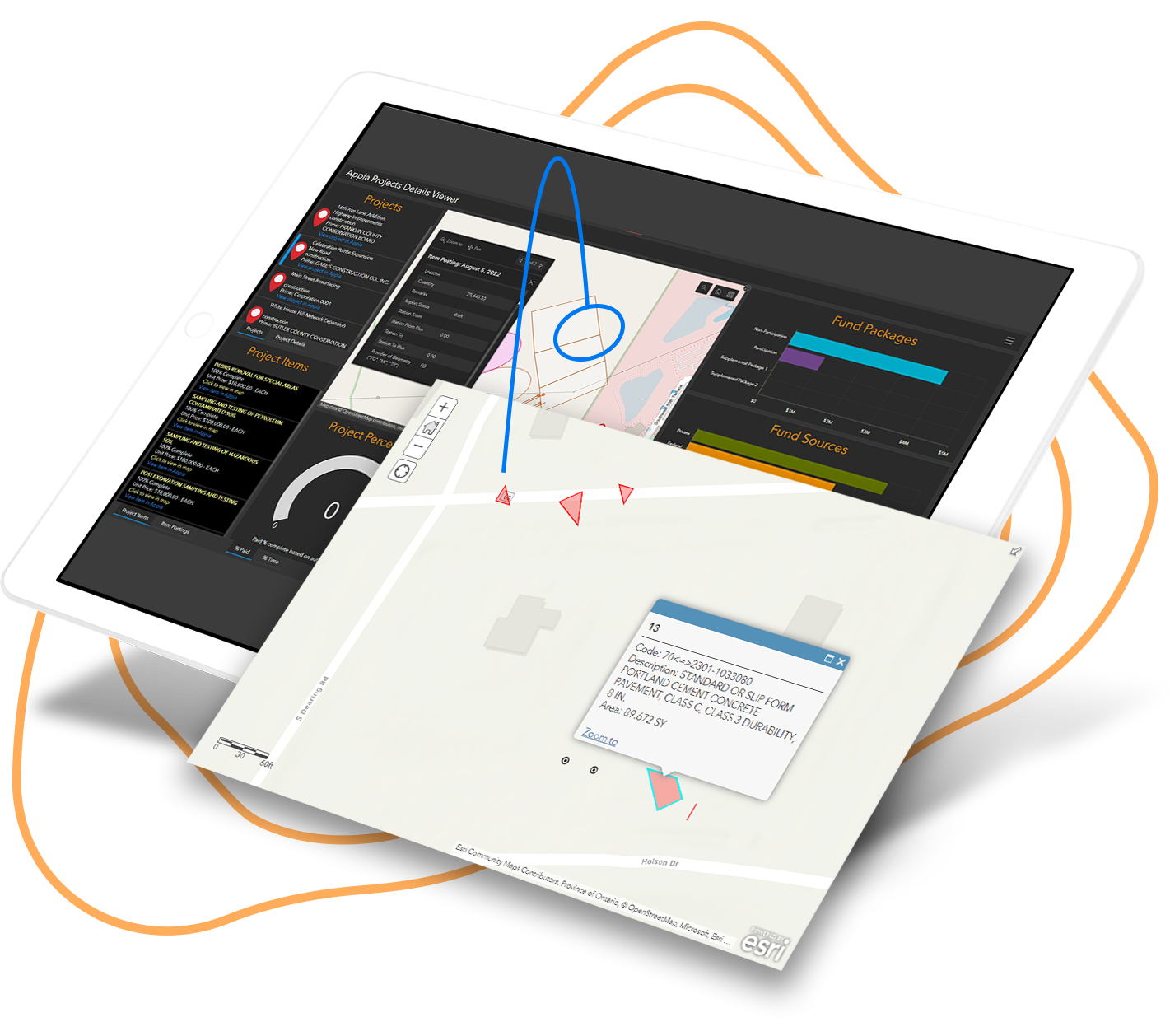
Construction Data Visualization Extension
Appia® and Esri have teamed up to offer a comprehensive solution for geo-enabling your construction project data.
By capturing and visualizing construction data for project and asset management, organizations are empowered to make insight-driven decisions, supported by real location intelligence.
Explore how your organization can introduce the benefits of ArcGIS to your construction management process.

.png)